Naryn Kyrgyzstan travel guide Tash Rabat
Naryn, Kyrgyzstan
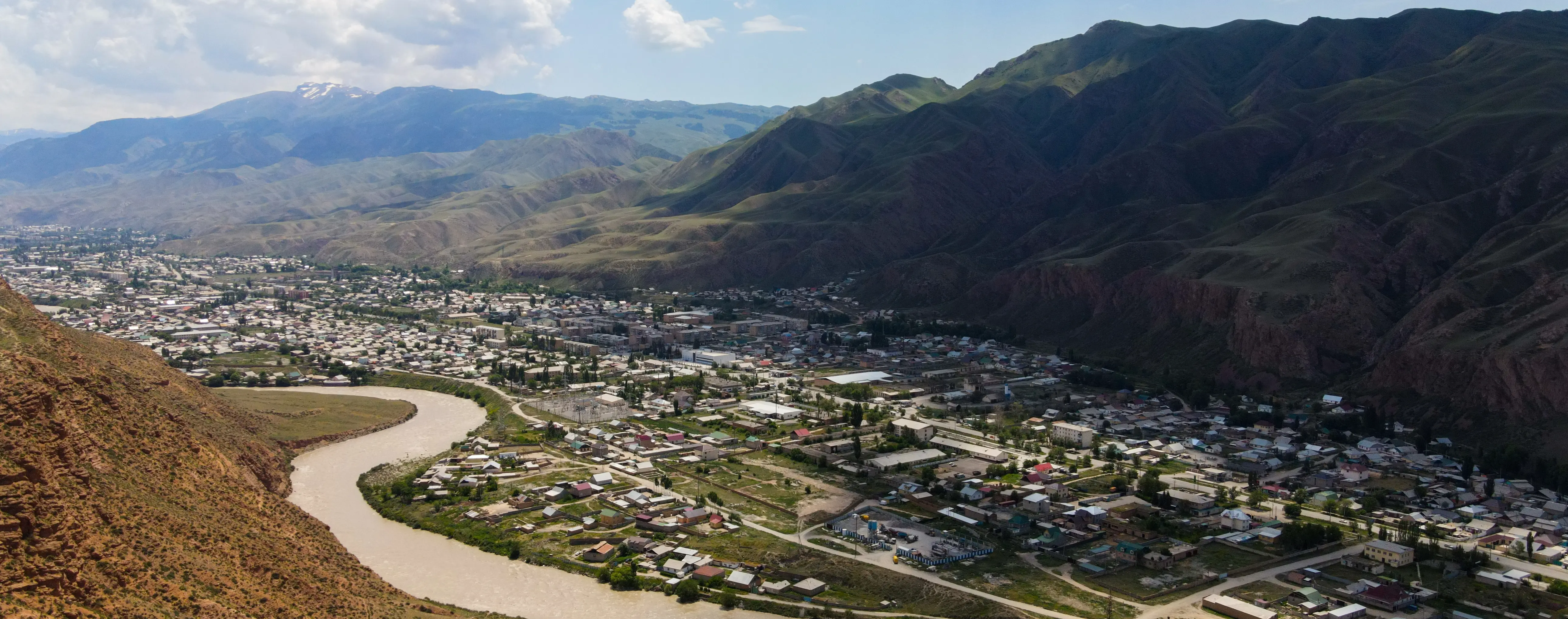
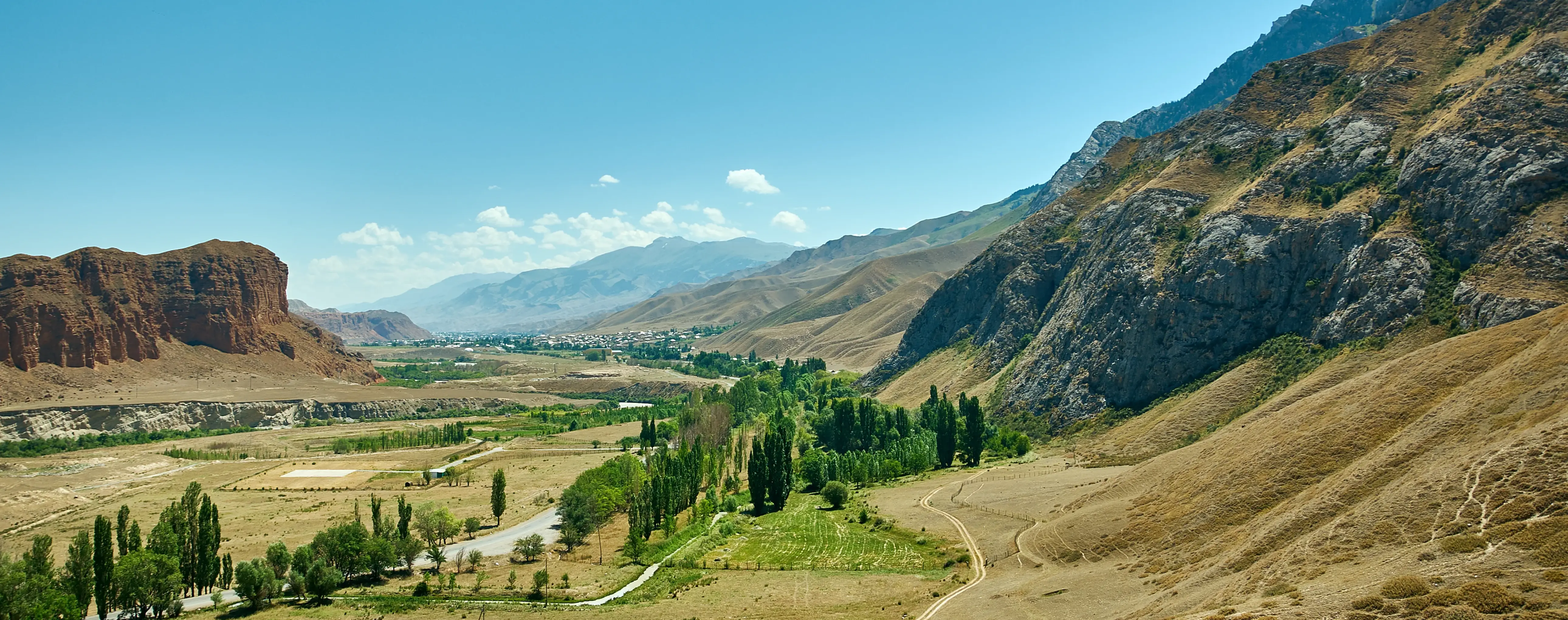
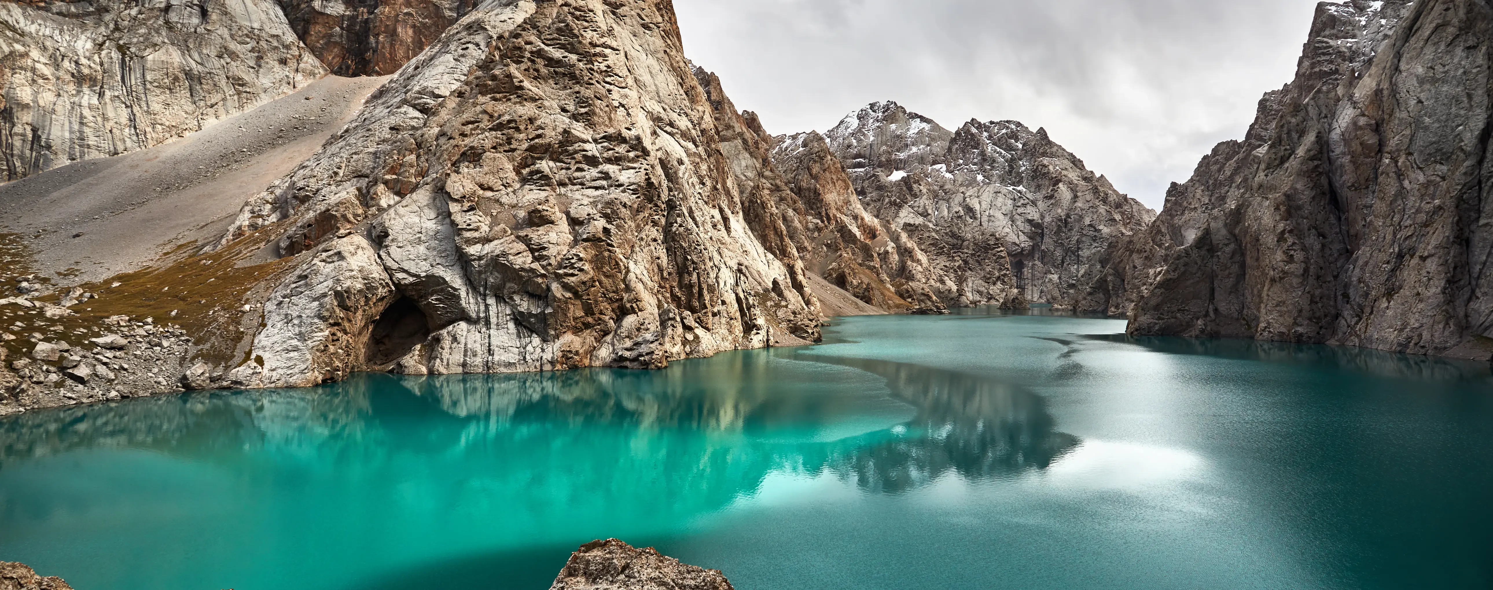
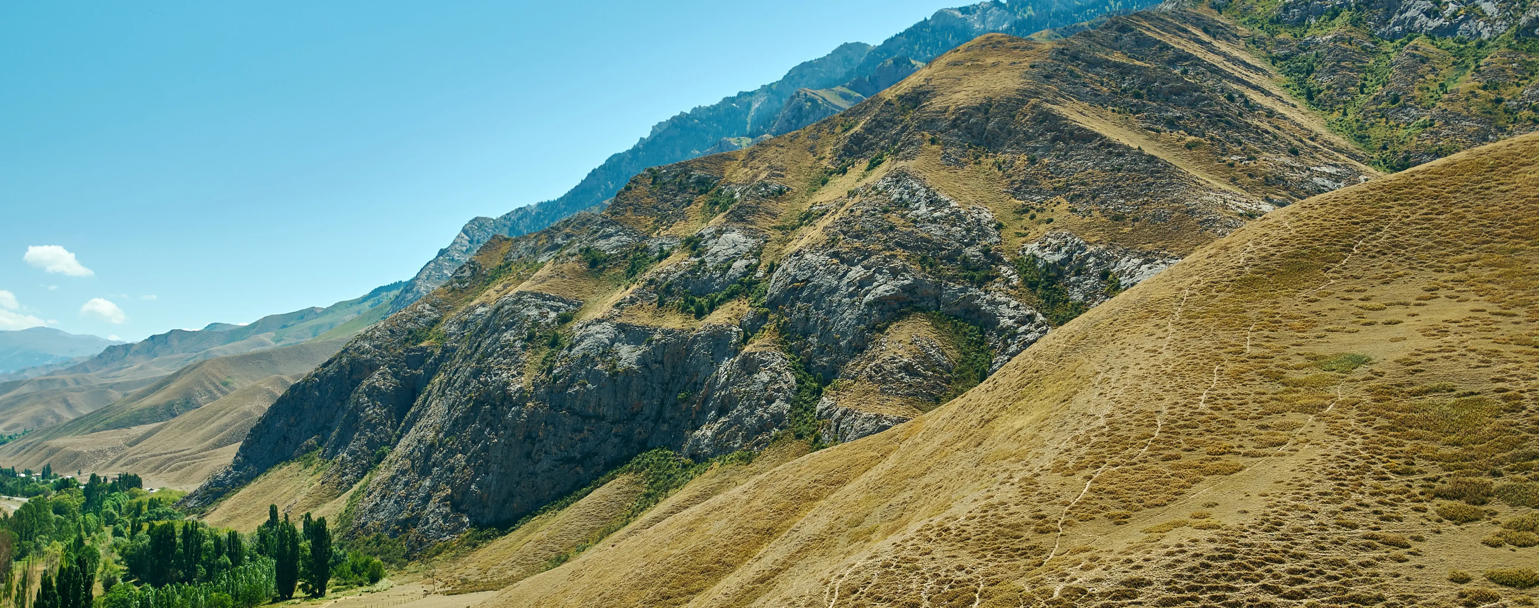
Naryn is an inland town in Naryn Region, in central Kyrgyzstan. It stands on the Naryn River in a high mountain valley in the inner Tien Shan, with a distinctly mountainous setting, a broad highland backdrop, and the river as its main natural feature.
Naryn's most visible historical layer is Soviet-era. Low-rise apartment blocks, administrative buildings, and detached houses define the urban landscape, so what you find here is a practical regional center rather than a city with a dense concentration of surviving monuments.
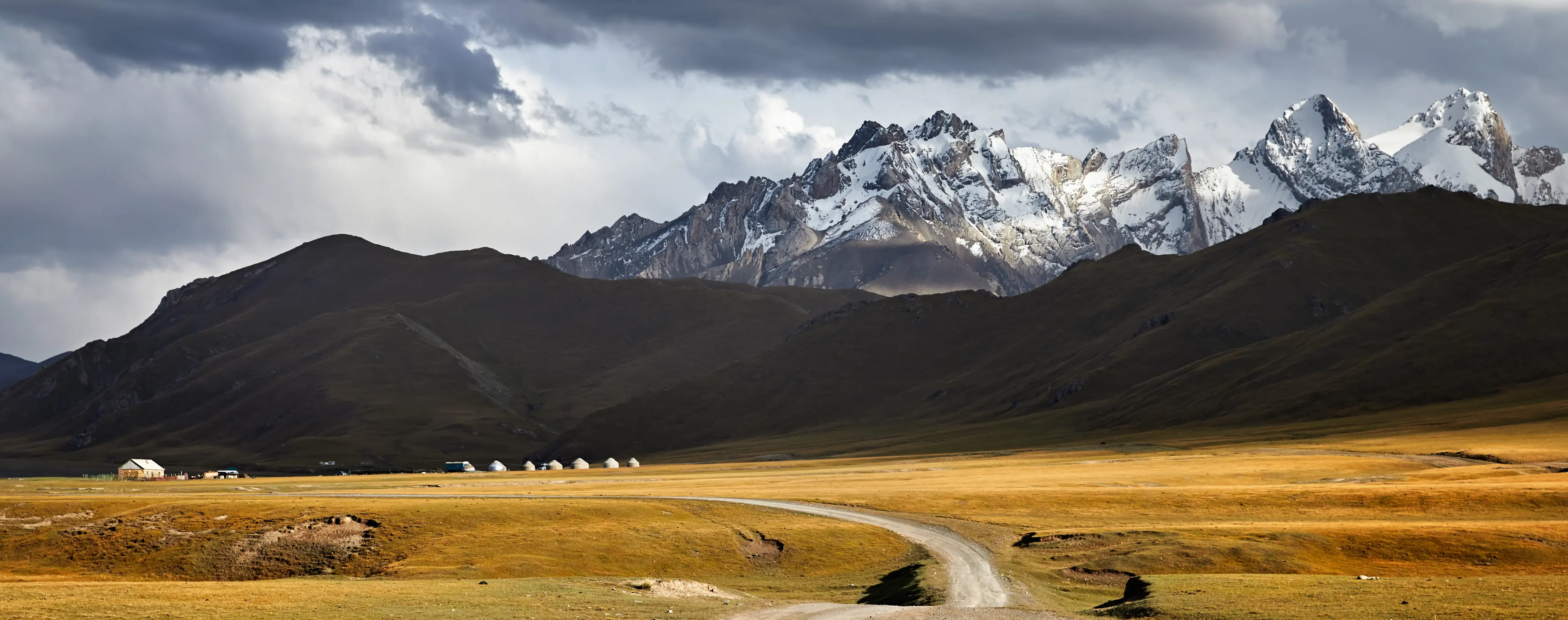
The town brings together nature, adventure, culture, and walking in a practical highland setting. In most itineraries, Naryn functions primarily as a service and transport base for holidays or a travel guide route focused on surrounding landscapes, horse trekking, road journeys, and highland travel logistics. That makes a short stay useful before continuing to Tash Rabat, remote jailoos, or other mountain destinations in the region.
The main visitor areas are the riverside parts of town, where the Naryn River gives the clearest setting for short walks and views, and the central administrative area, which reflects Naryn's role as the regional hub. Approach roads and transport areas matter too, since roads link the town with At-Bashy, the route to Tash Rabat, and the road toward Torugart Pass. Naryn Airport exists, but most visitors arrive mainly by road from Bishkek and other Kyrgyz towns, using transport services in town.
Naryn has a cold high-altitude continental climate. Even in summer, evenings can be cool, so warm clothing is useful year-round. Late spring, summer, and early autumn are the best periods to visit, while mid-winter and times of snow or ice on regional mountain roads are the main periods to avoid.
Naryn on the map
Naryn: Attractions, interesting places for excursions
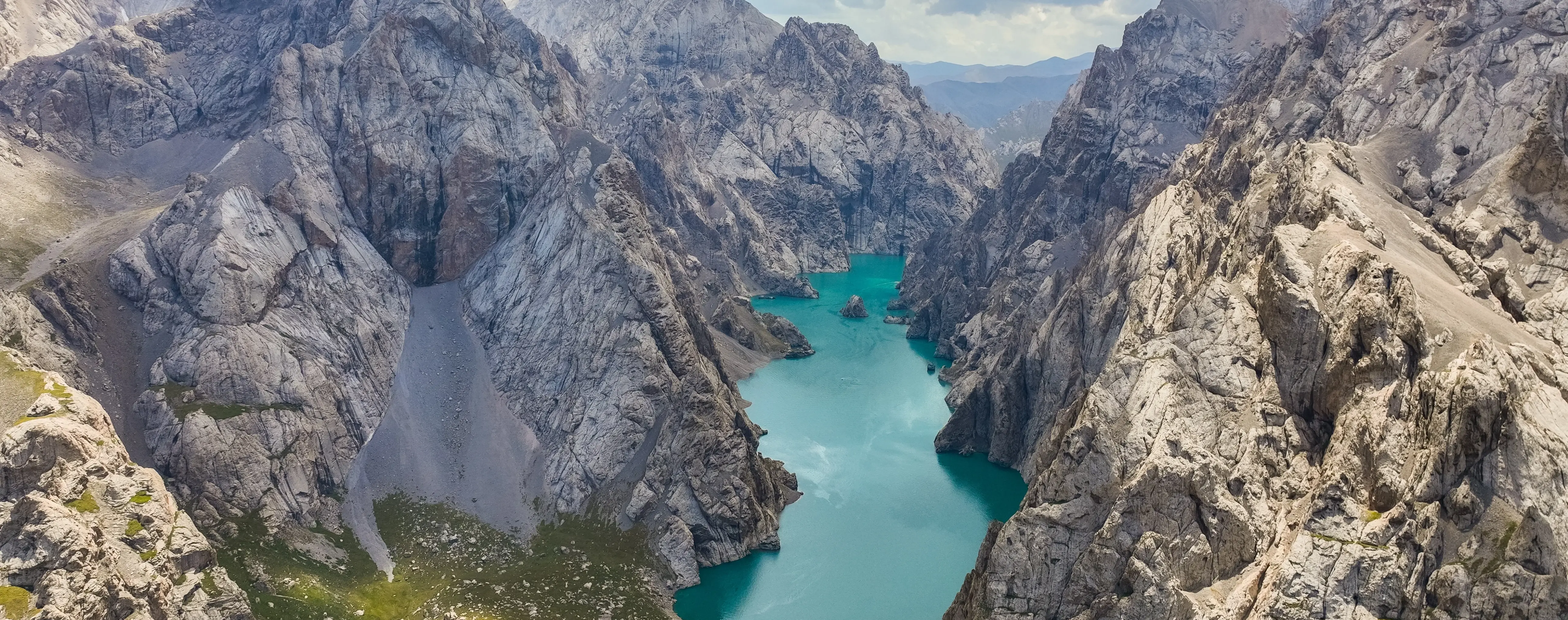
Song-Kul Lake, Naryn State Nature Reserve, Naryn River, Kel-Suu Lake
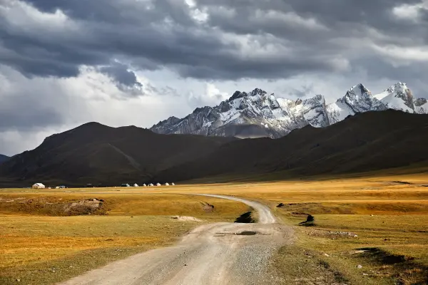
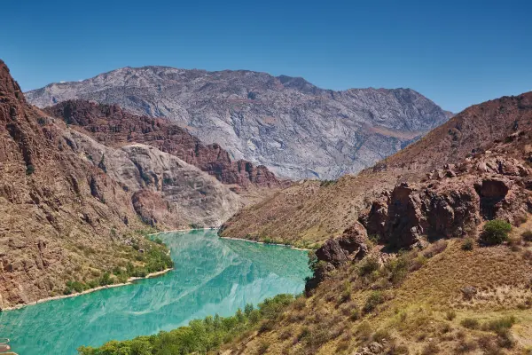
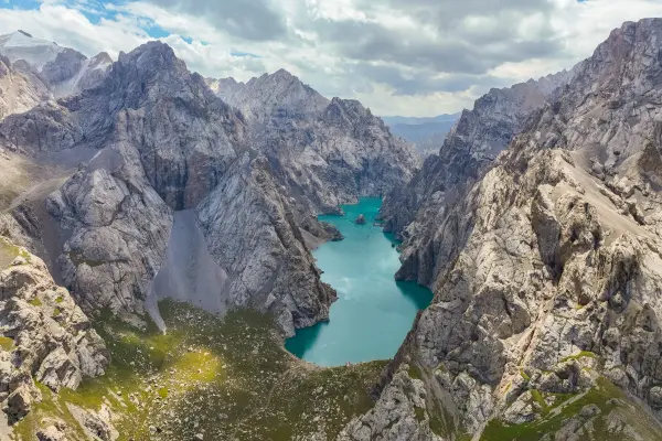
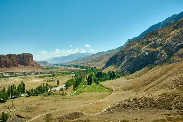
What to see in Naryn, from the Naryn River to Tash Rabat routes
River walks, Soviet streets, and mountain roads into the inner Tien Shan
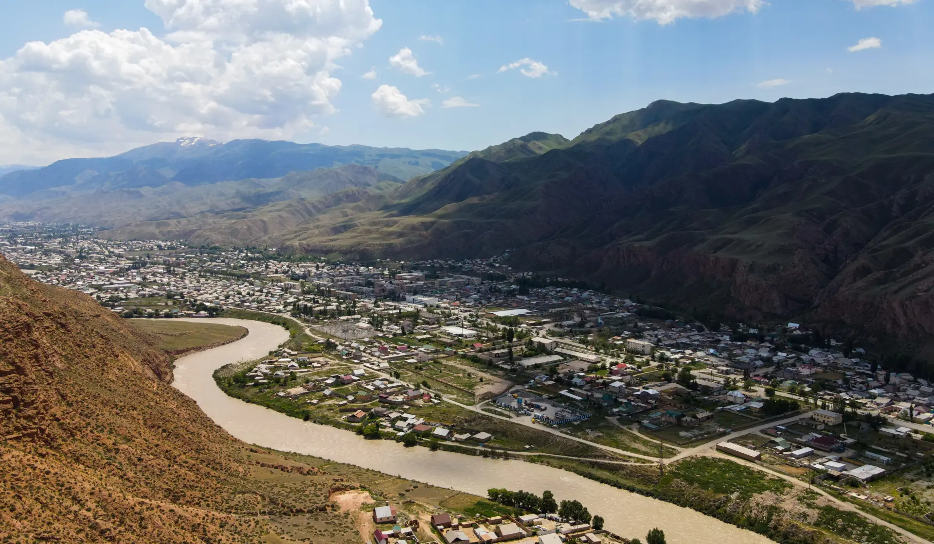
The Naryn River and the town's road connections
As you move through Naryn, the townscape is defined by Soviet-era low-rise apartment blocks, administrative buildings, and detached houses rather than by a dense historic core. The central administrative area underlines its role as the administrative center of Naryn Region, while the riverside parts of town offer the clearest setting for short walks and views. Movement through and beyond the town is shaped by the Naryn River embankment areas, the regional administrative center, the road access toward At-Bashy, the Torugart Pass road, and the Tash Rabat route, which together frame local attractions and places to visit.
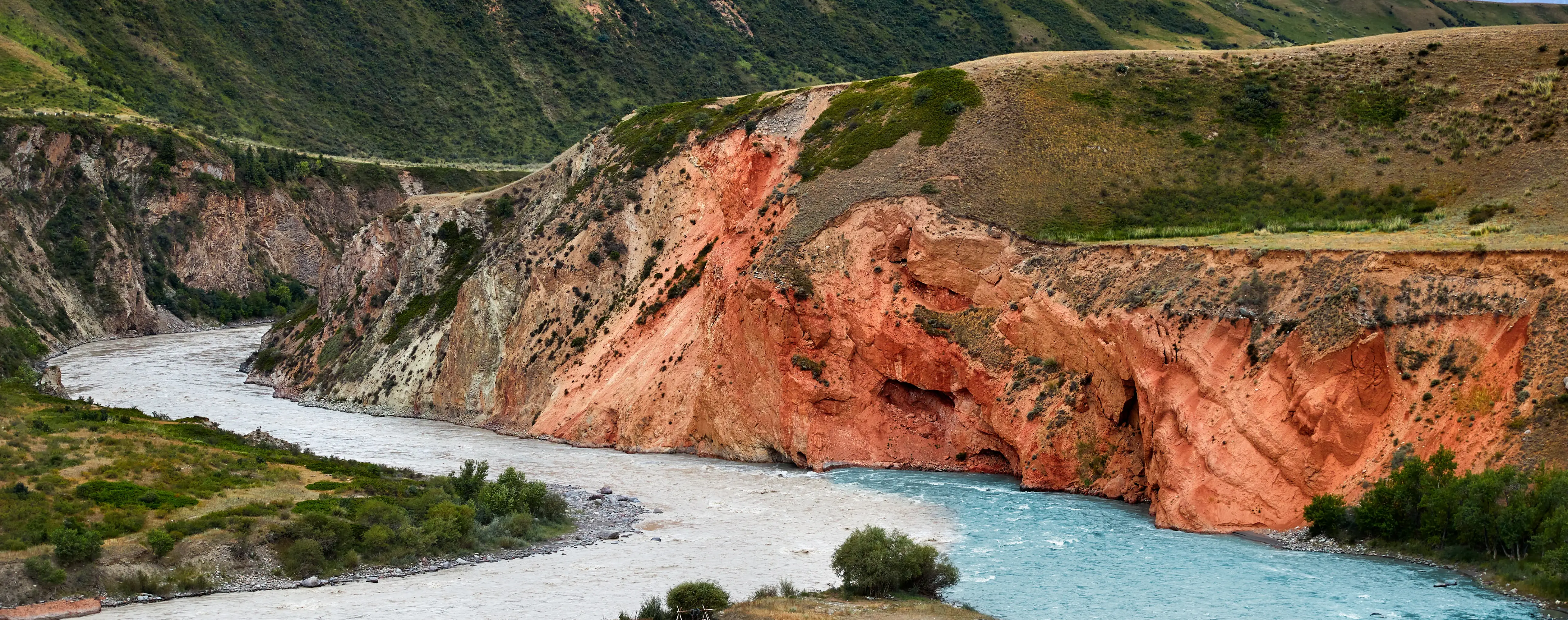
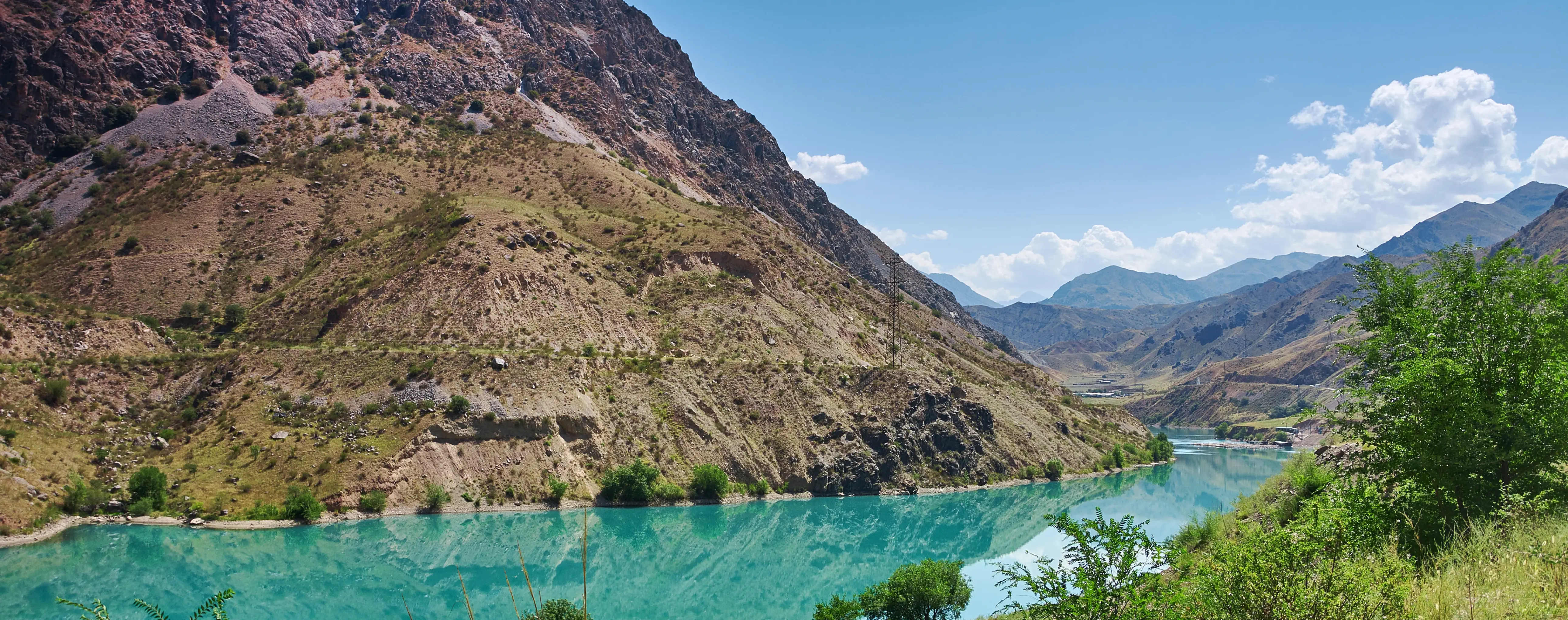
No specific museum details are provided in the source facts. The Naryn River is the town's main natural feature, running through Naryn and providing its most obvious setting for short walks and views. For visitors, it functions as the town's waterfront-like open space rather than as a marina or harbor area.
Beyond basic sightseeing, Naryn serves as a base for excursions to Tash Rabat, road trips toward At-Bashy, overland travel toward Torugart Pass, and horse trekking connected to the surrounding highland landscapes. Everyday activity in town also includes short riverside walks and using local transport and services before continuing farther into the region. Dining centers on simple cafes and straightforward Kyrgyz and Central Asian food, and things to do are often paired with dishes such as beshbarmak, laghman, manty, and samsa.
City Details
City overview – facts & data for travelers
Best tours and travel experiences across the continent




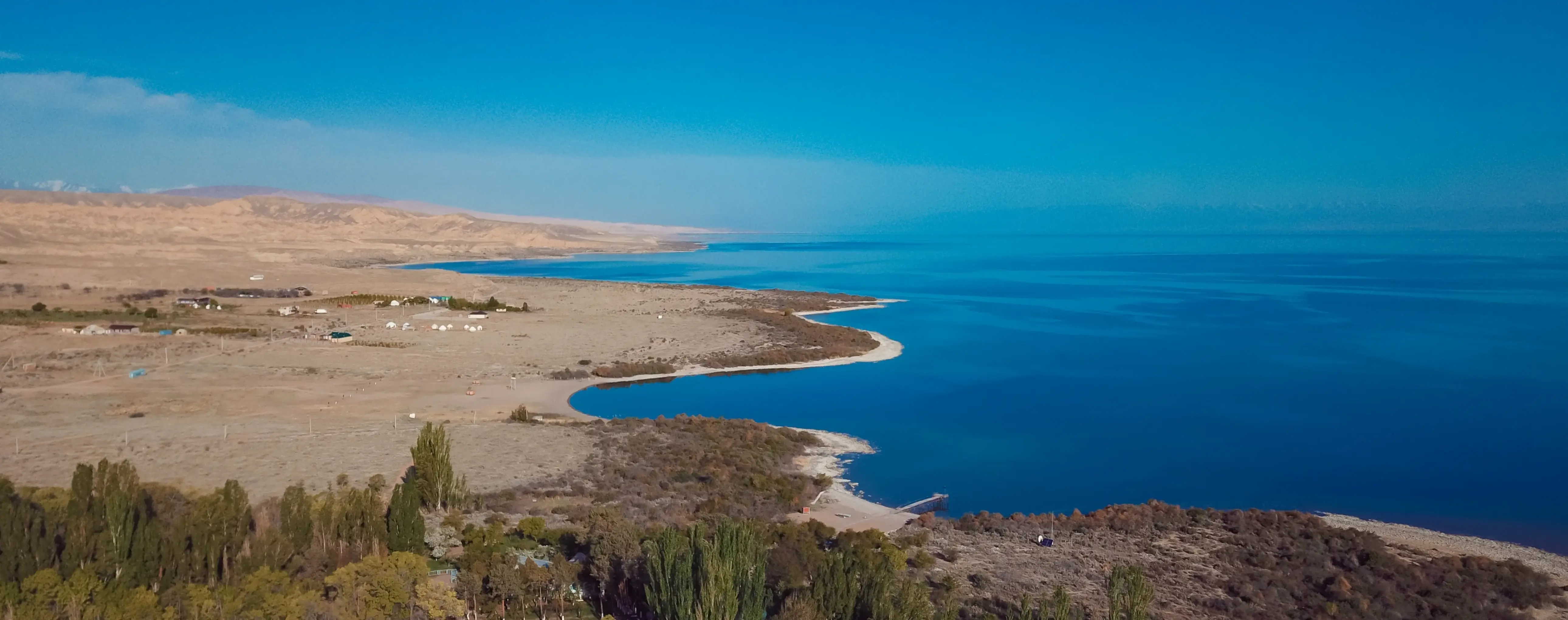
Naryn views
Guided tours, popular attractions, and top-rated hotels across the continent