
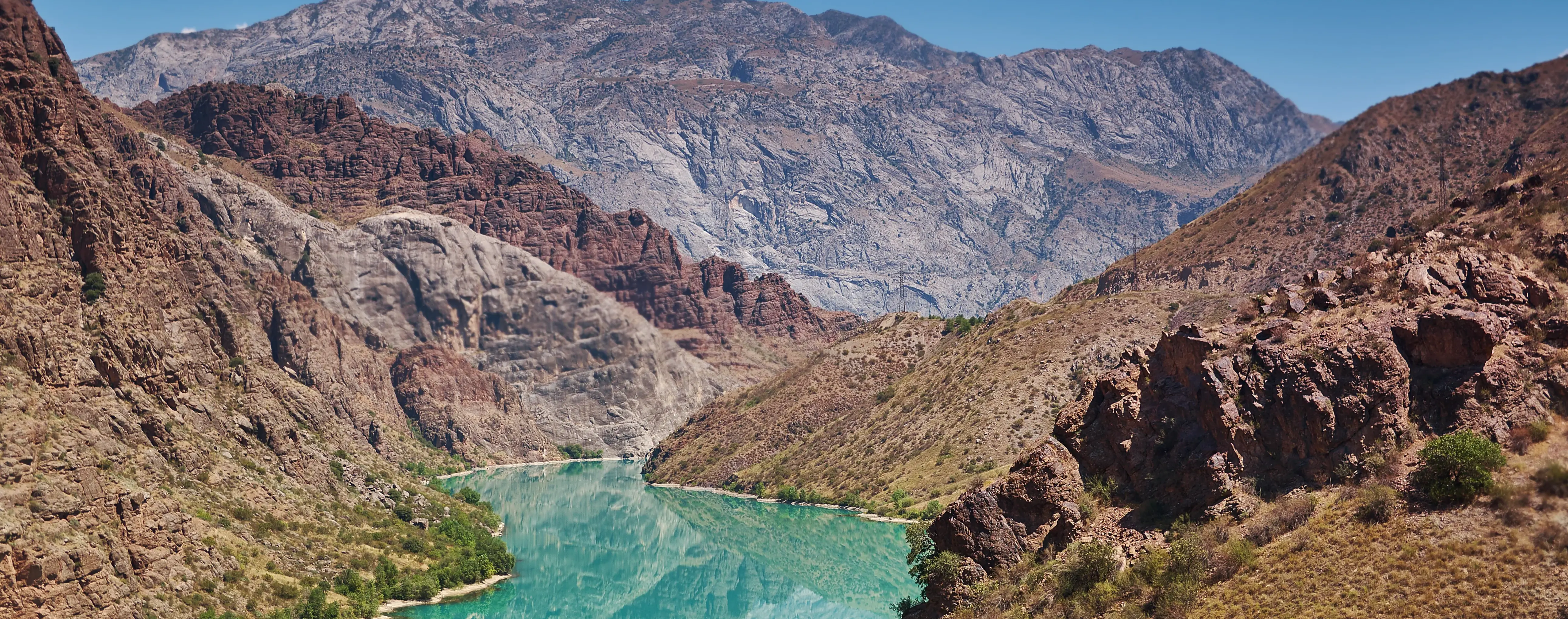
Naryn River
Naryn River in Naryn, Kyrgyzstan
The Naryn River is the largest river in Kyrgyzstan and the country's main waterway. It originates in the Inner Tian Shan, is formed by the confluence of the Big Naryn and Small Naryn, and then flows through high-mountain valleys and gorges. After joining the Kara Darya, the Naryn forms the Syr Darya, one of the main rivers of Central Asia.
In the area of the city of Naryn, the river is clearly visible as an important part of the local landscape. Here its channel runs through open mountain expanses, and from the roads and bridges there are views of the wide valley, high banks, and the rugged terrain characteristic of the region. At different times of the year, the appearance of the river changes: in the warm season the flow becomes fuller, while in autumn and early spring the shoreline forms and rocky sections stand out more clearly.
The Naryn is important not only as a natural feature, but also as part of Kyrgyzstan's economic system. The river's water is used for irrigation, and farther downstream is the Naryn cascade of hydroelectric power stations, associated with electricity generation. Therefore, the significance of the river for the country extends far beyond Naryn Region.
For travelers, the river is primarily interesting as a natural landmark when traveling around Naryn and its surroundings. It is not a promenade embankment or a separate viewpoint, but a major natural feature that is best experienced in motion - from bridges, from stretches of road along the channel, and when entering the city. The Naryn helps provide a better understanding of the natural conditions of the region and the everyday life of high-mountain Kyrgyzstan.
Naryn River on the map
The Naryn River and its views within the city
The river channel helps reveal the relief and scale of high-mountain Naryn.
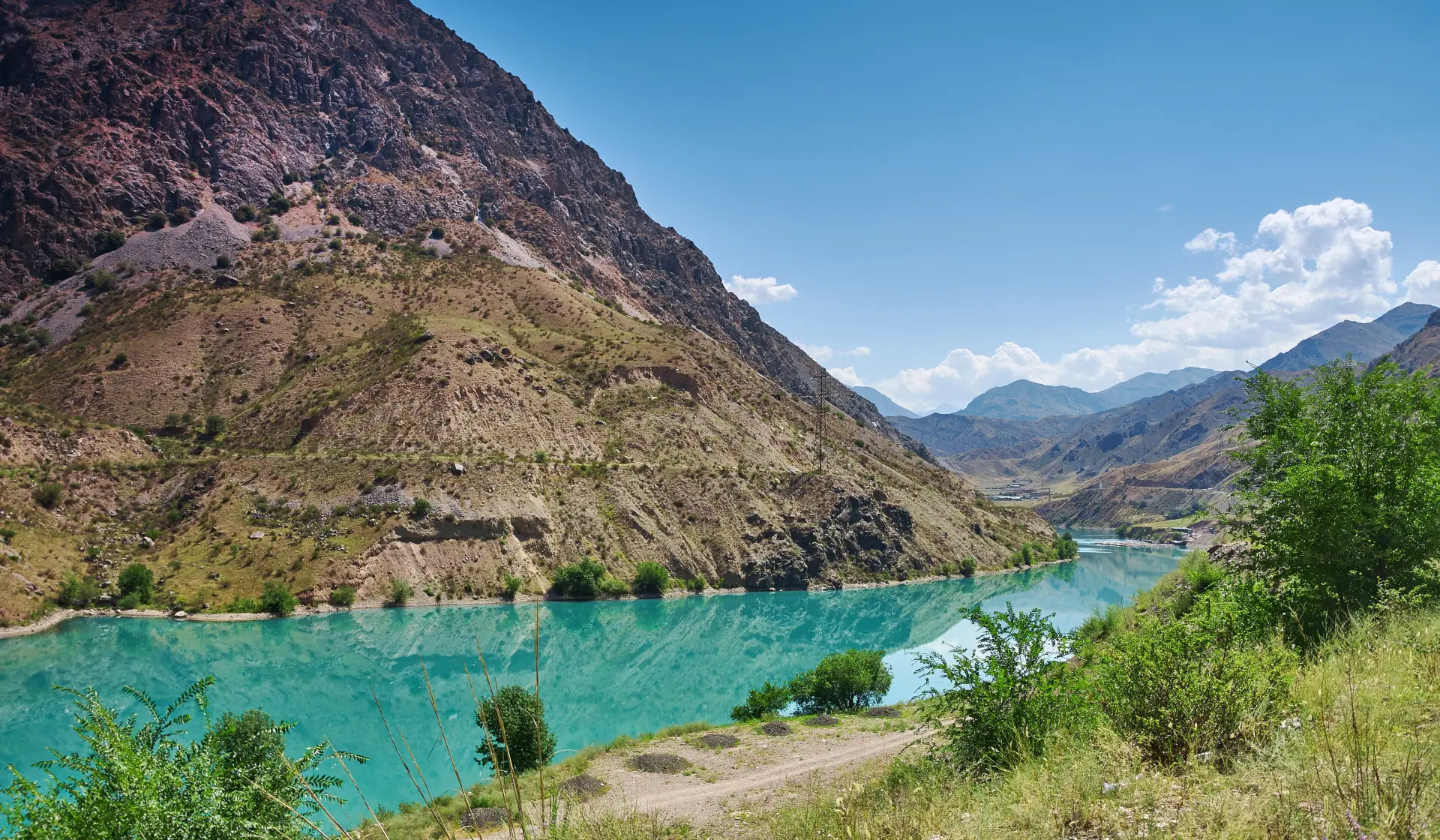
A mountain river that defines the landscape of Naryn
Within the city and nearby, the river appears as a wide and fast-flowing mountain channel with cold water, rocky banks, and open views of the surrounding slopes. This place is suitable not so much for extended relaxation by the water as for observing the landscape, taking photographs, and making short stops along the way. During walks, it is worth taking into account the altitude above sea level, wind, and changeable weather typical of Naryn.
The best points for experiencing the river are usually connected with bridges and roads that cross or follow the channel. From them, the current, the bends of the valley, and the contrast between the water, steppe areas, and mountain slopes are clearly visible. The banks within Naryn and near the city are not equipped everywhere for walking, so it is more convenient to view the river from safe observation points without going down to the water unless necessary.
The river is especially interesting for those traveling through Naryn Region by car or continuing farther to the passes, Son-Kul Lake, and the high-mountain routes of the Inner Tian Shan. In Naryn itself, the city center, the local history museum, and the road toward At-Bashy are nearby, so a visit to the river can easily be combined with a trip around the surroundings.
It is easy to reach the river: it passes through Naryn, and it can be seen already when entering the city or from the city bridges. If you plan to stop by the bank, it is worth choosing sections with convenient access and exercising caution because of the strong current and uneven terrain.
Best tours and travel experiences across the continent




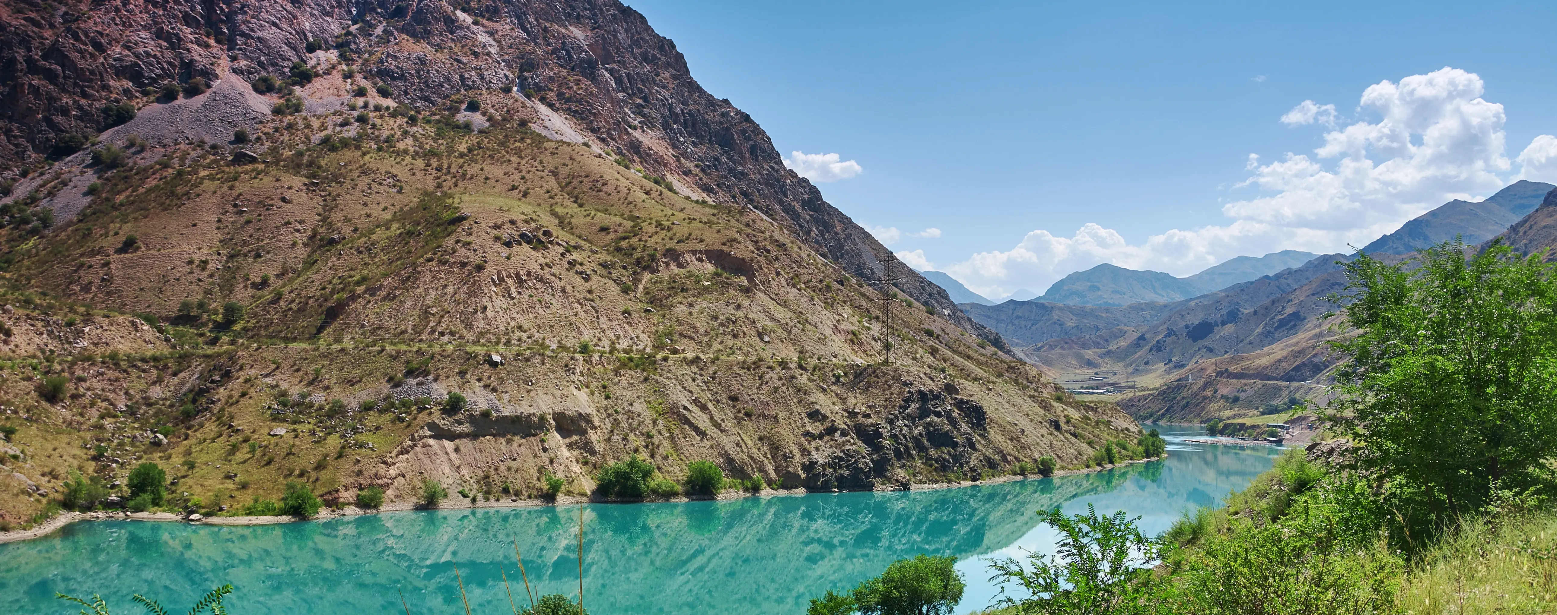
Photos of the river
Guided tours, popular attractions, and top-rated hotels across the continent


