
Tunektepe Mountain
Tunektepe Mountain in Antalya, Turkey - how to get there and what to see
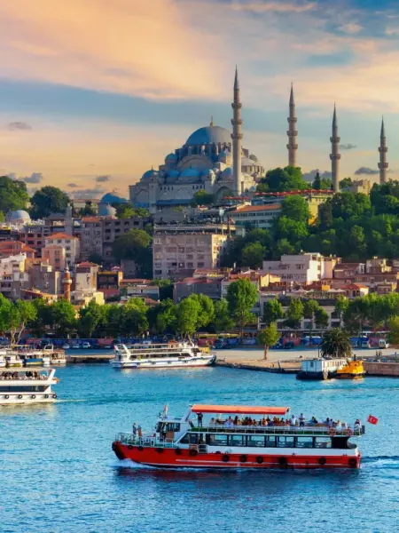
Tunektepe Mountain is located on the western outskirts of Antalya, above the Konyaalti district, about 15 km from the center of Antalya. Its elevation is about 618 m above sea level. The name Tunektepe is usually translated from Turkish as “hill with a perch.” The slopes are covered with pine forest, and from the summit there is a wide view of the coast, Antalya Bay, Konyaalti Beach, and the Beydaglari mountain range.
It is one of the best-known panoramic viewpoints in the surroundings of the city. People come here not for a long hiking route, but primarily for the viewing platforms and the chance to see Antalya from above. In clear weather, the coastline, the city neighborhoods by the sea, and the changes in relief between the coast and the mountains are especially visible.
Rest areas and viewing platforms have been arranged at the summit. There is also the notable building of the former rotating restaurant, which for a long time was considered a landmark on the summit. It is now generally not used for its original purpose, so it is not worth counting on being able to visit the restaurant.
The ascent to Tunektepe is usually made by car along the mountain road. The Tunektepe Teleferik cable car, which connects the summit with the Sarisu area by the coast, has operated with restrictions and interruptions at different times, so it is best to check its status in advance. There is parking on the mountain, and the trip itself is most often combined with a visit to Konyaalti Beach or the coastal part of western Antalya.
Tunektepe Mountain on the map
Tunektepe Mountain in Antalya - information and practical tips
At the summit there are viewing platforms, parking, and forested slopes for a short walk.

Panorama of Antalya Bay from an altitude of 618 meters
At the summit, the main attraction is the open viewpoints. From here, you can clearly see the long stretch of Konyaalti Beach, the port section of the coast, the Sarisu district, and the mountains approaching the sea from the west. Because of the altitude and exposed location, it can be noticeably cooler and windier here than by the water, so it is best to take the weather into account at any time of year.
The area is suitable for a short stop, a walk around the platforms, and photography. The forested slopes around it create a calmer atmosphere compared to the coastal zone, but the infrastructure at the summit is usually limited, so it is better to plan the trip as a short visit rather than as a separate full-day route.
The old round restaurant building remains the most noticeable structure at the summit, although visitors are usually not allowed inside. In the surroundings of Tunektepe, it is convenient to combine the trip with Konyaalti Beach, the coastal park in the Sarisu area, or the road toward the mountainous Beydaglari National Park.
The easiest way to get here is by car or taxi from the Konyaalti district along the road leading to the summit. If you plan to go up by cable car from Sarisu, it is worth checking its operating schedule in advance, as it may be temporarily closed.
Best tours and travel experiences across the continent


Photos of Tunektepe
Guided tours, popular attractions, and top-rated hotels across the continent